Hydrographic Surveys
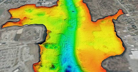
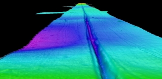
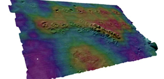
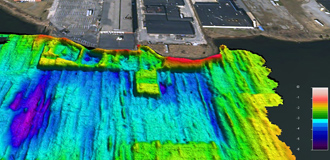
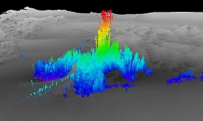
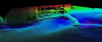
CR Environmental specializes in marine and freshwater hydrographic (bathymetric) surveys for environmental projects, bridge and structure inspections, coastal engineering, dredging and offshore disposal projects, eelgrass mapping and lake/reservoir volumetric assessments. We have conducted hundreds of surveys in marine, lacustrine, and riverine waters. Our multibeam systems are used to simultaneously collect depth, backscatter, side scan and water column data, often augmented by single-beam (dual and single-frequency) systems in shallow waters. Hydrographic surveys are often designed to facilitate simultaneous acquisition of data from other remote sensing systems such as towed side scan sonar, sub bottom profilers, and magnetometers.
CR hydrographers are NSPS/THSOA Certified. Survey data meet accuracy requirements more stringent than U.S. Federal and international performance standards and are always accompanied by clear documentation of uncertainties. All data are GIS/CAD compatible.
Representative examples of hydrographic survey projects are listed below:
→ Dredge and Disposal Support
- Boston Harbor CAD Cell Multibeam Surveys, Boston, MA
- New Bedford Harbor Superfund Site Progress Dredge Surveys, New Bedford, MA
- ACOE DAMOS Program Multibeam Surveys, CT, RI, MA, and ME (2003 - Present), including bathymetry, backscatter, side scan and water column
- ACOE HARS Program Multibeam Surveys, NY (2013 - 2020)
→ Reservoir and Lake Management
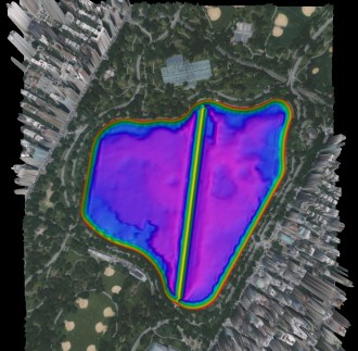
- Volumetric Analysis of the Central Park Reservoir & Lake, NYC
- Bathymetry of Seven NYCDEP Catskill/Delaware Range Reservoirs, NY
- Volumetric Analysis of West Hartford and Central Connecticut Reservoirs, CT
- Volumetric and Morphometric Analyses to Support Lake Management Plan, Conesus, NY
→ Site Characterization, Remediation Feasibility, & FERC Investigations
- Gowanus Canal Superfund Site Bathymetric Survey, New York City, NY
- Tidal Power Generation FERC License Survey, Bay of Fundy, ME
- Dam Removal and Improvement FERC Studies, Penobscot River, ME
- Volume/Area Analysis of Dredged Cranberry Bogs for Floating Solar Array Feasibility Studies, Plymouth, MA
→ Coastal Engineering
- Beach and Bluff Nourishment, Engineering Study Support, Nantucket, MA
- Beach Nourishment and Borrow Pit Development, Winthrop, MA
- Beneficial Use and Beach Nourishment for Hammonasset Beach State Park, Milford, CT
→ River Engineering / Dam Removal
- Connecticut River FEMA Flood Mapping, NH, MA, and CT
- Bridge Scour Study for Bridge Construction, New Haven, CT
- Pre- and Post-Construction Surveys of the Hoover Dam Bypass Bridge, Colorado River, CO
- Surveys of five Massachusetts DCR impoundments for dam removal feasibility studies
- Dam removal feasibility study, Parker River, MA


