Eelgrass / Aquatic Vegetation Mapping
CR Environmental specializes in mapping of saltwater and freshwater aquatic vegetation using several remote sensing methods. Data are ground truthed using our towed underwater video sled systems.
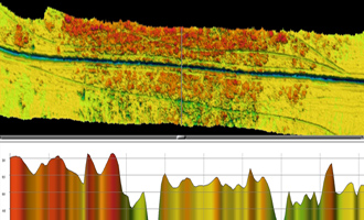
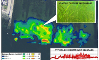
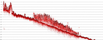
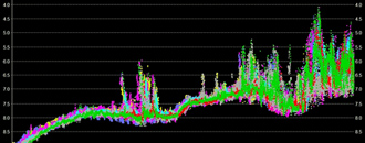
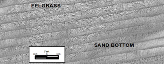
Survey systems are selected based on project depths, required horizontal resolution and budgetary constraints. Our single beam echo sounders generate echograms which readily detect vegetation and allow estimation of stem heights above the bottom. Our multibeam processing approaches generate several high resolution GIS layers which allow precise mapping of the extent of beds of vegetation across wide swaths of seafloor. High frequency side scan sonar generates georeferenced imagery capable of detecting and mapping vegetation.
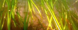
Each of these systems produce data that can be interpreted in near real-time, often allowing same day ground truthing using underwater video. Plant species are identified using underwater video coupled with RTK GPS positioning logged using HYPACK survey software.
CR's vegetation mapping projects range from large scale mapping of resources along utility crossings to single day mapping efforts for small dock construction efforts.
Representative recent projects include:
→ Eelgrass / Aquatic Vegetation Mapping
- Boston Harbor HEEC Cable Crossing (multi-parameter)
- Univ. Massachusetts Marblehead Docks, MA
- Several surveys in support of wind turbine cable routes in NE (multi-parameter)
- Bathymetric and eelgrass surveys in West Falmouth Harbor, MA
- Bathymetric and eelgrass surveys in New Bedford, MA (homeowner)
- Bathymetric, geophysical and eelgrass surveys in New London, CT for Harbor Development (multi-parameter)
- Bathymetric, geophysical and eelgrass surveys of two cable routes between Martha's Vineyard and Falmouth, MA (multi-parameter)
Photos:
Click to enlarge;
Use left & right arrow keys to toggle through photos)


